

Tecnoconsult
Drone Services
Advanced Surveying, Inspection and Monitoring with UAV Technologies
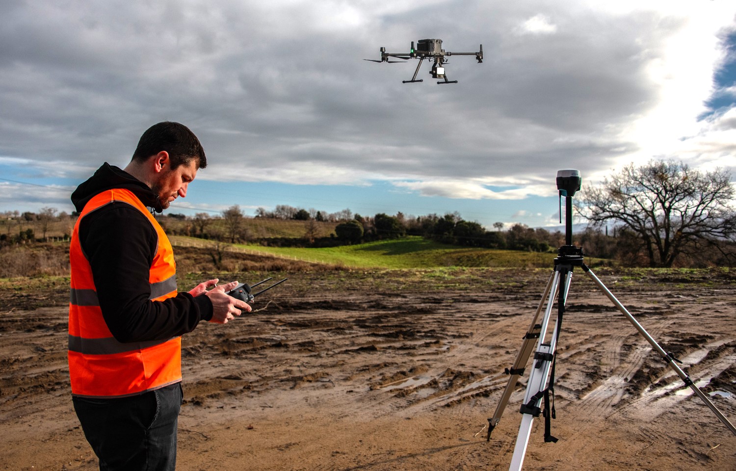
Our company employs state-of-the-art UAV and drone technologies for technical surveying, inspection, and monitoring of energy facilities and infrastructure. Using the DJI Matrice 350 RTK, equipped with LiDAR sensors and a thermal imaging camera, we perform high-precision laser scanning, visual inspections, and thermographic surveys.
Our operations also include topographic and land surveys for feasibility studies related to wind and photovoltaic developments, as well as engineering support for the planning, positioning, and routing of gas pipelines and energy infrastructure corridors.
Applications, Inspections and Site Analysis
Our Drone Technologies are applied to mapping, 3D modelling, site analysis, and engineering support for the design and maintenance of photovoltaic, agrivoltaic, wind energy facilities, and other energy infrastructure.
Our services are primarily based on two complementary survey methodologies:
LiDAR Surveys: the Zenmuse L2 sensor overcomes many of the limitations of traditional photogrammetry, particularly in complex topographic environments. Thanks to its exceptional vegetation penetration capability, the system accurately captures the true terrain morphology with centimetre-level precision. The acquired data are processed to generate dense, accurately classified point clouds, distinguishing terrain, vegetation, and man-made structures.
Thermographic and Visual Inspections: using the DJI Zenmuse H30T camera, we perform inspections aimed at identifying structural defects, thermal anomalies, and hot spots in photovoltaic modules and energy infrastructure. This approach enables targeted maintenance planning, improves plant efficiency, and maximizes return on investment (ROI).